The plan for this leg was to sail to Port Elisabeth. Lucky again the weather improved on the way so it was now possible reach Mosselbaai. Being close to the shore from time to time it was possible to download the latest GRIB files. GRIB files give detailed local weather information in chart form - wind speed and direction, rain and wave height- according to a weather model. So very helpfull to see how the model thinks the weather is going to look like but this is not a weather prediction, only a experienced weather man like Des can interpret them.
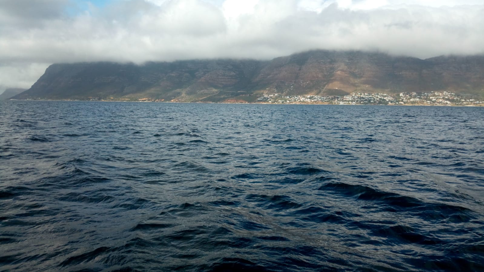
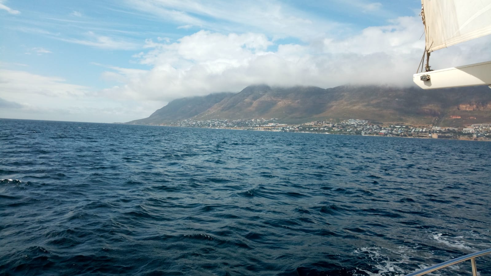
The Southwest lows decided to stay away even longer and northeasterlies continued to blow so Malaka Queen was able to pass cape Agulas (hello southern atlantic ocean, see you again indian ocean) and reach Simonstown in one continuous 4 day sail. As it was already dark at arrival and there are many obstacles in the bay anchoring in the bay in front of the town was chosen, just for this night.